Vegetation survey
|
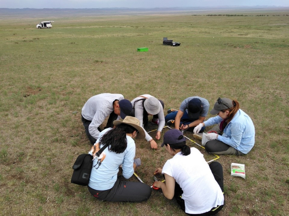
Over the course of 41 days in the summer of 2019, botanists from Germany and Mongolia visited 6 of the core sites. In addition they visited 36 subsites between the core sites, covering the west-east gradient. They focused on collecting plant species composition data and functional group level data (i.e. grasses and sedges, forbs and shrubs). Plant aboveground biomass and top-soil samples were also collected. In addition, faecal samples of livestock and Mongolian gazelle were also collected in areas surrounding the vegetation sampling plots. In total, the team collected 533 plant specimens, 155 soil samples, and 380 faecal samples in summer of 2019. From middle to the end of September, team members from Mongolia revisited 59 plots to collect biomass and dung samples to investigate seasonal change of forage digestibility. Data collected by the team of botanists allows MORE STEP to study how vegetation cover, species richness and species composition change along both the regional and local gradients from highly disturbed to less disturbed sites within the study area. The faecal samples will be used to describe the diet of livestock and Mongolian gazelles, as well as to quantify the quality of the forage they eat.
|
Remote sensing
|
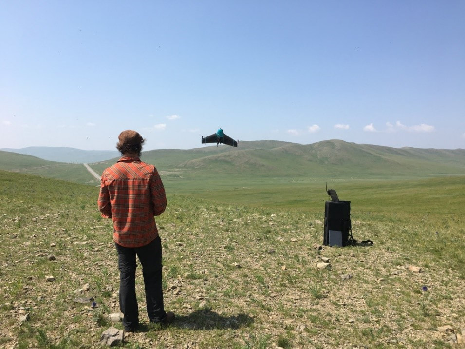
The remote sensing team of MORE STEP travelled together with the botanists and conducted an intensive ground survey to measure reflectance of the dominant plant species in order to create the first hyperspectral database of Mongolian vegetation. Along the west-east gradient within the 6 core sites approximately 2000 spectra were recorded. This reflectance data will be compared to the vegetation field data conducted by botanists for developing a hyperspectral indicator system for grassland degradation. Furthermore, to classify vegetation types as well as vegetation cover as a proxy for grassland degradation, multiple sources of remote sensing data were used. These data include very high resolution World View 2/3 images (acquired in August 2019). Multiple sources of high resolution satellite images were used for classifying land cover, mapping hay making areas and determining fire frequency. These area-wide and time series remote sensing data will be used for assessing the temporal changes in the pasture degradation across the vast study area.
|

