Wildlife mobility
|
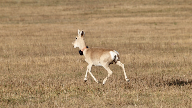
In September of 2019, MORE STEP wildlife ecologists deployed solar-assisted GPS collars on 38 Mongolian gazelles at three sites across the study region, following the study gradient from high human disturbance near the capital of Mongolia to low human disturbance in the eastern steppe. The GPS collars are programmed to record one GPS location per hour, which allow us to study wildlife behavioural responses to anthropogenic disturbances, especially linear barriers such as roads, railways and fences. In addition, this fine scale tracking data provides a unique opportunity to investigate the movement behaviour of Mongolian gazelles and their habitat requirements during extreme environmental conditions.
|
Livestock mobility
|
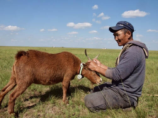
Between July and October 2019, wildlife ecologists also deployed non-satellite GPS devices on 89 individual livestock including goat, horse, cattle and camels. For each core site, we selected livestock from 9 households that were included in the social interview survey. These GPS devices record one point every 30 min. The data generated by these devices will allow us to study the daily and seasonal movements of livestock and herders, which can be combined with site-based environmental and socio-economic data to better understand mobility along the west-east gradient. Ideally the data will also shed light on livestock-wildlife-interactions.
|
Herder mobility
|
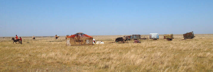
In addition to the 320 herder interviews, a participatory mapping technique was carried out with about 30% of the households that were interviewed. Data collected from the participatory mapping approach show intra-annual movement patterns and allow us to visualize them. In combination with remote sensing products, data derived from the household survey, and information on the locations of water sources, the participatory mapping will help us to understand the decision-making process that determines seasonal movement patterns of households.
|


